PERSECUTED AND SAVED


ROUTE 02: Port de Gireta
DESCRIPTION
This route leads to one of the mountain passes used by refugees escaping from the Second World War to enter the Catalan Pyrenees from the Vall de Riberot. This valley, is located in the French local district of Couserans, in the province of Ariège, which belongs to the region of Midi-Pyrenees. The Persecuted and Saved project signposts the route from Montgarri to the Port de Gireta pass. It can only be done on foot, with trekkers going there and returning on the same day. From Montgarri, those seeking freedom used to follow the route as far as Alós d’Isil on foot. Today, it is also possible to do the route by mountain bike (MTB) or 4×4 vehicle, according to the time of year. As a result, those who wish to can also do the route in two stages on foot, as described below:
STAGES
STAGE 1: Montgarri – Port de Gireta – Montgarri
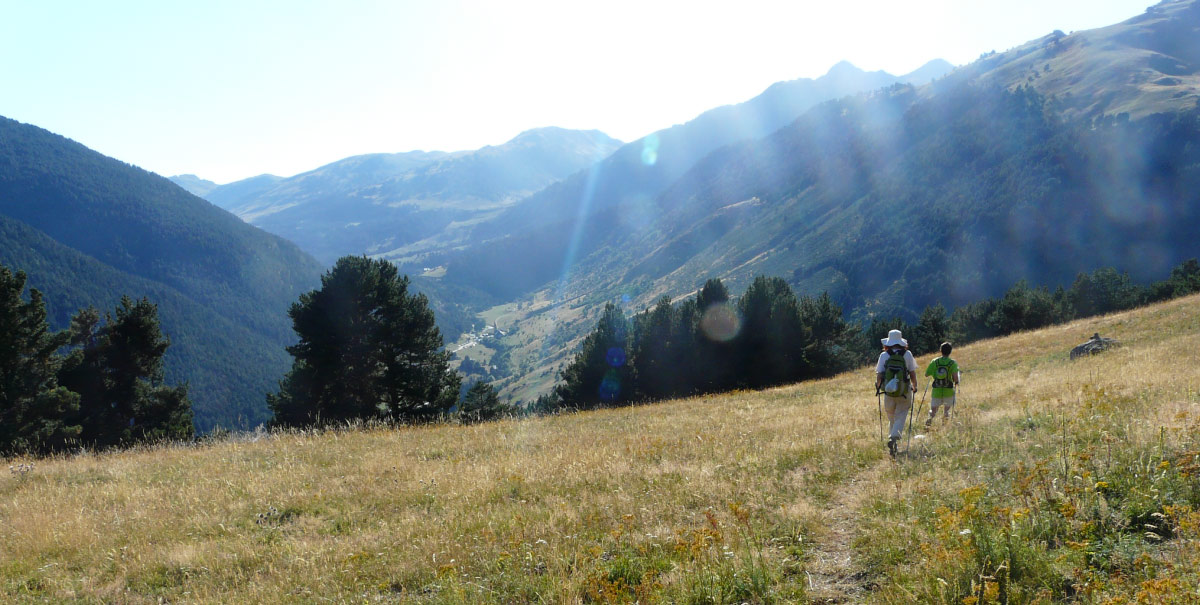
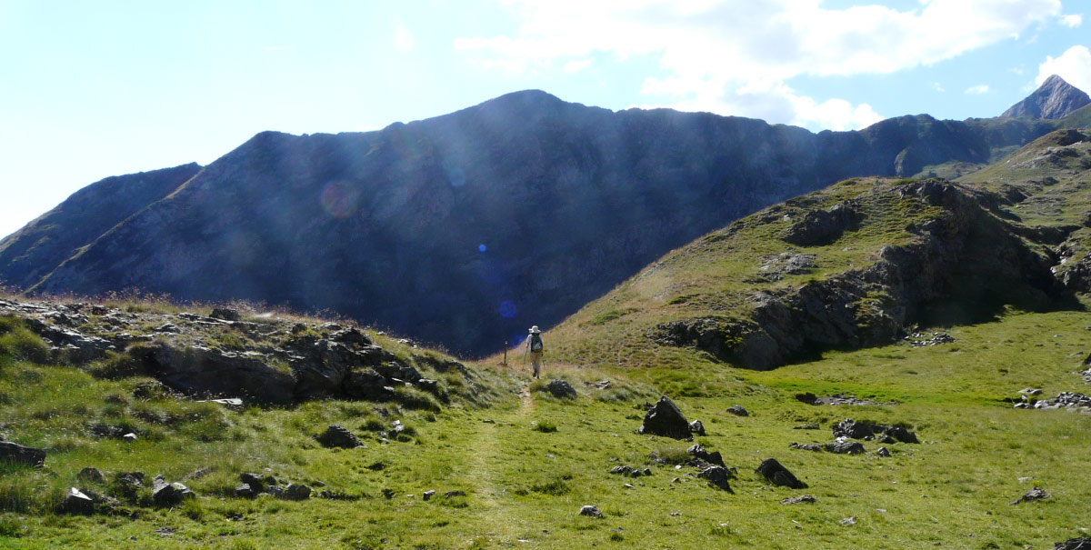
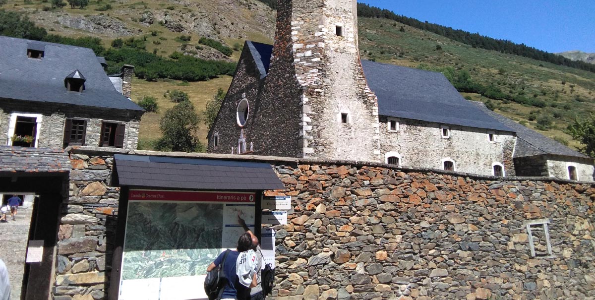
Montgarri is a nucleus belonging to the Val d’Aran that has a mountain shelter and a Shrine. It can be accessed from the Val d’Aran by following a track that runs across the Pla de Beret, which is in quite good condition. Visitors can also get there from El Pallars Sobirà, either via the Bonabé Valley, by or following a track along which it is necessary to use a 4×4 vehicle. Once at Montgarri, visitors will see signposts at the entrance to the patio of the current architectonic group. From there, they must follow the red and white markers of the GR. The route begins by climbing along a very clear path that runs diagonally, following the left bank of the River Noguera Pallaresa. After leaving behind the Montgarri Valley, it then crosses the first stream. After continuing through a small wood of black pine, the route reaches a clearing known as “La pleta dels Bandolers” (the brigand’s sheep pen). From here, the route again enters the woods and it is necessary to carefully follow the red and white signs that are painted on stones lying on the ground and on the bark of the trees. It then continues to climb before it reaches a small pass and a bucolic setting from where it is possible to look out over the valley of the River Fred (cold river). Here, there is shade and shelter where it is possible to take on refreshment. From this point, the route runs downhill to the banks of the River Fred, before continuing on to the Port de Gireta pass. After a long climb, it is possible trekkers will see a small glacial cirque known as “La Coma de Gireta” where, according to the time of year, they should find a small pool. Once past this piece of water, there is just the final ascent to the top of the pass. Walkers will, by now, have relived one of the escape routes, just as it was walked by thousands of fleeing Jewish refugees, back in WW2. Once at Montgarri, it is possible to end the route or, alternatively, to spend the night there before continuing with Stage 2 and then walking to Alós d’Isil on the following day.
STAGE 2: Montgarri – Alós d’Isil
If anything defines this stage, it is a verse by Mossèn Cinto Verdaguer. He referred to the source of the River Noguera Pallaresa at the Pla de Beret plain observing how “the Noguera playfully ran towards Alós”. After the hard Port de Gireta pass stage, that leading on to Alós is a relative stroll through the High Pyrenees Natural Park. It is accompanied by the sound of the waters of the River Noguera Pallaresa, as it runs through pine and fir woodland and lush lower forest vegetation. Then comes a sudden sighting of the Bonabé Valley, the Bordes of Perosa rural buildings and the Pont de Perosa bridge. This sheltered area and crossing point for the different paths that run down from several mountain passes, such as the Port de Clavera and Port d’Aulà, was also used by those fleeing from the Nazis. In total, following this itinerary, it takes about two and a half hours to reach this point, after several relatively gentle climbs and descents. From here onwards, it is then downhill all the way. About 15 minutes after El Pont de Perosa lies the “Bistrot Borda Ignàsia”. This is a tavern where it is possible to enjoy a meal, when it is open during the summer season. Along the way, it is also possible to see what remains of Mathussière et Forest, the company that exploited the Bonabé forest from the beginning of the 20th century. This reminds us of a prosperous industrial past of the valleys of the High Pyrenees. Once at the turn off leading to the El Port de Salau pass, which was another of the emblematic paths to exile along the Persecuted and Saved Route, trekkers will arrive at the Refugi del Fornet mountain shelter, after a 4-hour walk. This is the starting point of a track that leads to the village of Alós d’Isil, after a walk of about 1 hour. At the entrance to Alós, visitors will discover the old saw mill and see the totem poles that explain the historic memory. Once at Alós, it is possible to find the former barracks of the Carabiners, at Casa Senet. It was here that refugees who had been intercepted by police patrols were identified and held. From this point on, it is necessary to organise some form of transport to travel to a place providing accommodation, to get to Montgarri – for those who have left their vehicles there – or to go on to some other destination. But visitors should not do this without having first set aside an hour to visit the Prison-Museum of Sort where refugees detained along the way by the Guardia Civil were held prisoner.
TECHNICALS DETAILS
Stage 1: Port de Gireta – Montgarri
Distance: 6.95 km.
Initial altitude at the Port de Gireta pass: 2,502 m.
Final altitude at the Montgarri mountain shelter: 1,646 m.
Net descent: 856 m
Difficulty: VERY DEMANDING
Time: 3 hours + time for stops.
Wet weather: >4.5 hours + time for stops.
TOTAL ROUTE TIME: 7.5 hours + time for stops.
Stage 2: Montgarri – Alós d’Isil.
Distance: 17.7 km.
Altitude at Montgarri: 1,646 m.
Altitude at Alós d’Isil: 1,266 m.
Net descent: 380 m
Difficulty: DEMANDING
TOTAL ROUTE TIME: 5 hours + time for stops.
ACCESS POINTS
To Montgarri (Val d’Aran):
The distance from Vielha is 28.4 km and from Sort it is 74.1 km.
It runs as far as Baqueira Beret, where there is a turn off towards the Pla de Beret plain, and continues on to Montgarri, following a forest track.
To Alós d’Isil (Valls d’Àneu-Pallars Sobirà):
The trajectory from Sort or Vielha is 43.9 km.
On the C-28 from the Bonaigua pass, turn off at PK 60 and follow the route that leads to Sorpe, Isil and Alós d’Isil.
RECOMMENDATIONS FOR DOING THE ROUTE
Doing the route is conditioned by its condition, which can vary according to the season of the year. It is recommended to do the route in SUMMER or AUTUMN, though it is also possible to do certain stretches of it in winter, using snowshoes. Previous information is available from the corresponding tourist information offices and specialised services.
- Walking sticks.
- Mountain footwear.
- 5 litres of water per person.
- Solar protection (glasses, cap, etc.)
- Wear appropriate clothing (warm clothing in case of cold, and waterproofs in case of rain).
- Take enough food for a whole day.
- Go with other people and, whenever possible, with guides who know the local territory.
- Get information about the meteorological conditions and about the path before starting the route.
- Vehicle access to the Montgarri mountain shelter is prohibited from 1st November to 1st June.
SPACES OF INTEREST
The Val d’Aran and El Pallars Sobirà have numerous natural, cultural and sporting tourist resources that can be enjoyed all year round. It is particularly relevant to highlight those that can be found along the route or that it is recommended to visit on account of their thematic interest:
“Road to Freedom” Prison Museum, at Sort
This was a prison centre for more than 2,660 people who were detained during their flight through the Pyrenees in the period corresponding to the Second World War.
tel. 973620010
www.camidelallibertat.cat
museu@camidelallibertat.cat
Refugi de Montgarri mountain shelter
This was used as a shelter by those who were escaping; today, it is still in use and operates as a youth hostel.
Pont de Perosa bridge
The meeting point of paths leading from the Clavera and Aulà mountain passes, which were used as escape routes.
Pont de Perosa
The meeting point of paths leading from the Clavera and Aulà mountain passes, which were used as escape routes.
Remains of “Mathussière et Forest“, at Bonabé
The abandoned buildings of this forestry company can be found from the Pont de Perosa to the Refugi del Fornet mountain shelter; they were used as hiding places.
TOURISM SERVICES
In the Val d’Aran and El Pallars Sobirà, it is possible to find all kinds of tourist establishments. Here, we highlight the accommodation and bar-restaurants that can be found along the walking route.
THE WHOLE ROUTE FROM FRANCE: Bordes sur Lez – Port de Gireta – Montgarri – Alós d’Isil
Anyone who wants to do the whole historic route will have to do it from France, starting from the Ariegeoises Pyrenees Natural Park. This is a very long and demanding route so it is recommended to do it in 3 stages, making an overnight stay at the Estagnous mountain shelter.
Stage 1: Bordes sur Lez – Maison du valier – Refugi d’Estagnous
The reference settlement in France is Les Bordes sur Lez. From there, it is necessary to travel to the start point of the walking route, at the Gite of the La Maison du Valier, a youth hostel located 9 km from Les Bordes sur Lez, using some sort of vehicle. From there, visitors can follow a well-marked path to the Estagnous mountain shelter, which is located at the foot of Mont Valier.
Stage 2: Refugi d’Estagnous-Montgarri.
The second stage runs from the Estagnous mountain shelter to Montgarri via the Port de Gireta pass.
Stage 3: Montgarri – Alós d’Isil
Another option is to continue along the route as far as Alós d’Isil, on foot, by MTB, or by 4×4. It is recommended to visit the “Road to Freedom” Prison-Museum before leaving El Pallars Sobirà.
