PERSECUTED AND SAVED


ROUTE 07: Port de Perafita
DESCRIPTION
This route leads to one of the mountain passes used by those fleeing from Second World War persecution. It runs from Les Escaldes-Engordany (Andorra) to the Catalan Pyrenees. After making their initial ascent through the Andorran Vall de Madriu, which is located above the Port de Perafita pass, refugees walked down to the Estanys de la Pera pools and then on to the settlements of Aransa, Lles, Travesseres and Martinet. The Persecuted and Saved project has signposted the route from the Port de Perafita pass to Martinet. This 20.4 km route can be done:
- On foot, in various stages.
- By mountain bike (MTB), from the Estanys de la Pera to Martinet, covering a distance of 19 km.
- By family car, from the Font de les Pollineres mountain shelter to Martinet.
- On snowshoes, in winter, from the Estanys de la Pera to the Refugi del Fornell mountain shelter.
It is recommended to do the section of the route corresponding to the climb to the Port de Perafita pass on foot. This has been signposted by Persecuted and Saved and can be completed in a single stage.
STAGES
Port de Perafita – Refugi de la Font de les Pollineres
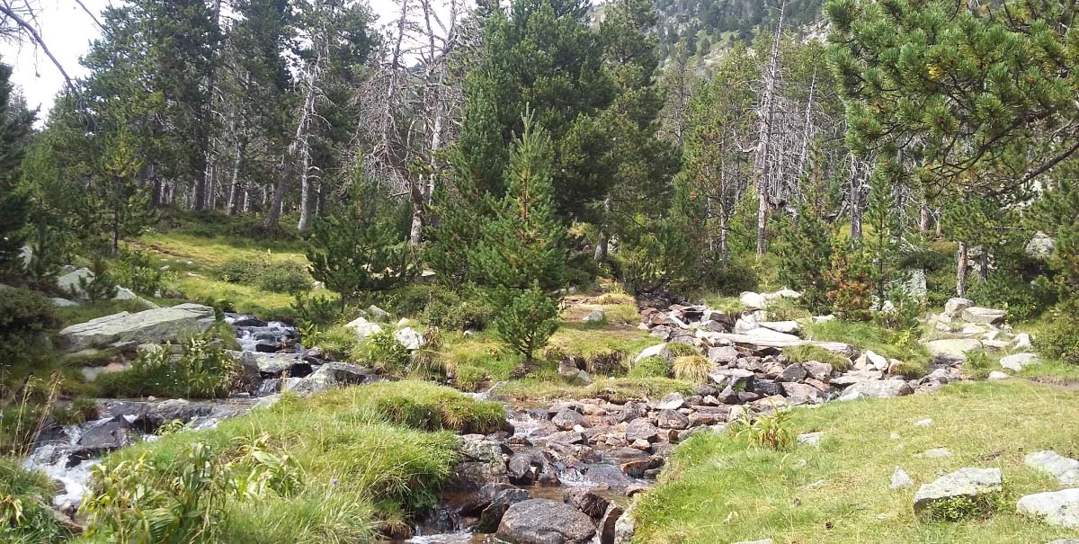
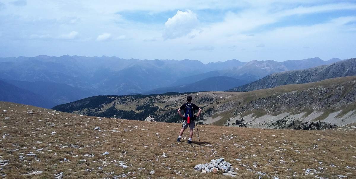
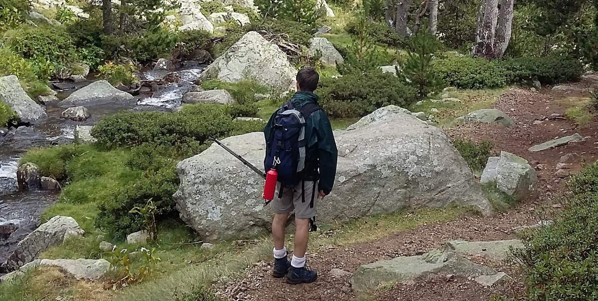
The route begins high up at the Port de Perafita pass, at an altitude of 2,572 metres, right on the border with Andorra. This is the highest pass on the Persecuted and Saved routes. From here, it is possible to enjoy magnificent views over both sides of the mountains. To the right, looking towards La Cerdanya, is the Pic de Perafita (2,752 metres), which is also known as the “Tossal de la Truita”, and the Pic de Monturull, which at a height of 2,759 metres is the highest glacial cirque of the Estanys de la Pera pools. Looking to the left, it is possible to see the Pic de Sirvent. It is recommended to begin the descent with precaution as the slope is very pronounced and the path runs through an area of loose gravel where it is necessary to take considerable care. Once past this relatively short, 100-metre-long section, with a pronounced gradient, trekkers will find a well-marked track with the red and white markers corresponding to the GR. Just below lie the Estanys de la Pera pools and a manned shelter, which was inaugurated in 1957. This can be reached by crossing an esplanade of mountain meadows of great beauty. The shelter offers accommodation and restaurant services. These two pools lie in the water basin of the river Riu del Molí, within a small glacial cirque at the head of the Vall d’Arànser. Having left the shelter and the pools behind, the section within the Riu del Molí valley begins. The river must be crossed several times and will accompany walkers as far as the Refugi del Font de les Pollineres mountain shelter, which is located amongst meadows and black pine woodland. This is a well-signposted path and one that it is almost impossible to miss. It is just a case of following the red and white markers that can be found painted on the bark of the trees and on the stones along the way. The name Estanys de la Pera comes from the word “pedra” (stone). Stones used to be used to mark passing points and boundaries.
TECHNICAL DETAILS
Start point: Port de Perafita
End point: La Font de les Pollineres mountain shelter
Total length: 6.4 km.
Initial altitude Port de la Perafita: 2,572 m.
Final altitude La Font de les Pollineres mountain shelter: 2,135 m.
Net descent: 437 m.
Difficulty:M ODERATE
Time: 1 h 30 min descent
Wet weather: 2 h climb
TOTAL ROUTE TIME: 3 h 30 min + time for stops.
ACCESS POINTS
To Martinet
Martinet is 25 km from Puigcerdà and 23 km from La Seu d’Urgell. It is possible to get there via the N-260. At Martinet, it is necessary to take a local road, the LV-4036, which leads to Aransa. It also passes through Travesseres, on a 12.6 km stretch. Having passed the village of Aransa, there is a turn off which signposts the Aransa cross-country ski resort, 5 km away. From the Refugi del Fornell mountain shelter, which has given its name to the base shelter of the Aransa cross-country ski resort, the route goes on for another 5 km. It now follows a forest track, which is in good condition, to the leisure area at La Font de les Pollineres, where there is a car park. From this point, it is necessary to make the ascent to the Port de Perafita pass on foot (6.4 km).
RECOMMENDATIONS FOT FOLLOWING THE ROUTE
Doing the route is conditioned by its state, which varies according to the different seasons of the year. It is recommended to do it in SUMMER – AUTUMN. In winter, it is possible to do the part of the route from the cross-country ski resort of Aransa on snowshoes. The Font de la Pollineres mountain shelter is unmanned; as a result, it does not offer any services.
To do the route on foot, recommendations include:
- Hiking poles.
- Mountain footwear.
- 5 litres of water per person.
- Solar protection (glasses, cap …)
- Wear appropriate clothing (warm clothing in case of cold, and waterproofs in case of rain).
- Take sufficient food for a whole day.
- Go with other people and, whenever possible, with guides who know the territory.
- Obtain information about the meteorological conditions and the path before starting the route.
SPACES OF INTEREST
La Cerdanya gaudeix de nombrosos recursos turístics de natura, cultura i esports per a tot l’any, es destaquen aquells més propers a la ruta:
Parc dels Búnquers, a Martinet
Es presenta com una proposta diferent per recuperar la memòria històrica.
Tel. 648141070
www.bunquersmartinet.net
Es recomana, encara que a 74 km de Martinet:
Presó-Museu “Camí de la Llibertat”, a Sort
Centre d’empresonament de més de 2.660 detinguts durant la seva fugida a través del Pirineu en el període de la Segona Guerra Mundial.
Tel. 973 620 010
www.camidelallibertat.cat
TOURIST SERVICES
At La Cerdanya, it is possible to find a wide range of tourist establishments. Here we highlight the accommodation and bar-restaurants which are nearest to the walking route.
THE WHOLE ROUTE FROM ANDORRA: Escaldes Engordany – Port de Perafita – Refugi de la Font de les Pollineres
Anyone who wants to do the whole historic route will have to start from the neighbouring country: the Principality of Andorra, and the village of Les Escaldes.
Route: Escaldes-Engordany – Font de les Pollineres
Leaving from the settlement of Les Escaldes, head towards the La Comella housing estate and the starting point for the walking route. The route passes through the Vall de Madriu, heading in the direction of Entremesaigües. Follow the signs for the Refugi de Perafita mountain shelter and on to the top of the pass. This is a 6 hour, 1,355-metre ascent, followed by a 1 hour 30 minute, 437-metre descent. This makes a total walk of 7 hours and 30 minutes, plus time for stops. This is a long and demanding route, but it is apt for people who are used to doing mountain crossings. To do the whole route from Andorra, it is necessary to contract transport services to reach the starting point and arrange a pick up from Font de les Pollineres.
